UN
39 Coresbrook Way
£ 617,500
Description
We don't have a Description for this property.
- Bedrooms
- 4
- Bathrooms
- 0
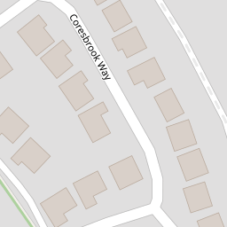
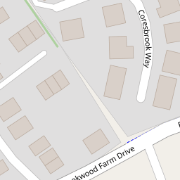
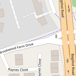

Leaflet © OpenStreetMap contributors
The heatmap indicates the level of crime in the area. The color of the heatmap indicates the crime severity and recency.
Metrics Year-on-Year
- Average area value
- 511,523.00 £Increased by 11.33 %
- Average area rental value
- 2,171.00 £/moIncreased by 5.70 %
- Est rental Yield
- 5.09 %Decreased by 5.04 %
- Crime Rate
- 6.00 %Unchanged by 0.00 %
from 459,464.00 £
from 2,054.00 £/mo
from 5.36 %
from 6.00 %
Nearby Schools
| Name | Type | Ofsted | Distance |
|---|---|---|---|
| The Knaphill Lower School | Academy Converter | 0.58 KM | |
| Brookwood Primary School | Academy Sponsor Led | Good | 0.80 KM |
| Knaphill School | Academy Converter | 0.88 KM | |
| Brookwood & Pirbright Sure Start Children'S Centre | Children's Centre | 0.90 KM | |
| Bisley Cofe Primary School | Voluntary Aided School | Good | 1.63 KM |
Images
Nearby Streets
| Name | Average Price | Average Sqft | Distance |
|---|---|---|---|
| Gloucester Close | £ 735,000 | 0 | 0.00 KM |
| Guernsey Way | £ 0 | 0 | 0.00 KM |
| Stafford Lake | £ 0 | 0 | 0.00 KM |
| Trinity Road | £ 660,000 | 0 | 0.00 KM |
| Barton Close | £ 0 | 0 | 0.00 KM |
Nearby Transport
| Name | NLC | TLC | Distance |
|---|---|---|---|
| Brookwood | 5687 | BKO | 1.16 KM |
| Worplesdon | 5686 | WPL | 5.67 KM |
| Woking | 5685 | WOK | 7.96 KM |
| Wanborough | 5639 | WAN | 8.60 KM |
| Bagshot | 5681 | BAG | 8.88 KM |
Nearby Listings
| Address | Price | Type | Score | Distance |
|---|---|---|---|---|
| Brookwood Farm Drive, Knaphill, Woking, Surrey, GU21 | £ 455,000 | BUY | 7 / 10 | 0.14 KM |
| Brookwood Farm Drive, Knaphill, Woking, Surrey, GU21 | £ 589,950 | BUY | Unknown | 0.15 KM |
| Brookwood Farm Drive, Knaphill, Woking, Surrey, GU21 | £ 439,950 | BUY | 6 / 10 | 0.17 KM |
| Brookwood Farm Drive, Knaphill, Woking, GU21 | £ 625,000 | BUY | Unknown | 0.17 KM |
| Orchard Mews, Knaphill, Woking, Surrey, GU21 | £ 400,000 | BUY | 5 / 10 | 0.19 KM |
Nearby Properties
| Address | Price | Distance |
|---|---|---|
| 35 Coresbrook Way | £ 440,000 | 0.00 KM |
| 21 Coresbrook Way | £ 460,000 | 0.00 KM |
| 15 Coresbrook Way | £ 527,000 | 0.00 KM |
| 123 Coresbrook Way | £ 775,000 | 0.00 KM |
| 25 Coresbrook Way | £ 525,000 | 0.00 KM |